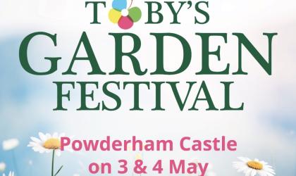
Devon Gardens Trust seeks to promote and protect Devon’s designed landscape heritage – its parks, gardens and cemeteries of special historic interest - for future generations. Those designed landscapes may date back at least five hundred years whilst others have been created in the last fifty; they may be small, less than an acre, or comprise hundreds of acres; they may be associated with a famous owner, designer or horticulturist; they may be an important example of their time. Each landscape is unique and has a story to tell. We work with owners, managers and local authorities to ensure that those gardens, parks and cemeteries of special historic importance are recognised and conserved. To achieve this we
- maintain a database of the designed landscapes (parks, gardens and cemeteries) in Devon
- comment on planning proposals affecting important designed landscapes
- undertake research and record the current status of designed landscapes
- support conservation projects, including by giving grants
- encourage and support education in horticulture and the historic designed landscape, including awarding bursaries and grants
- support professional gardeners through the Devon Professional Gardeners' Network
- promote public awareness and understanding of designed landscapes
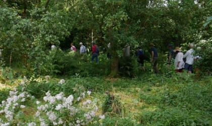
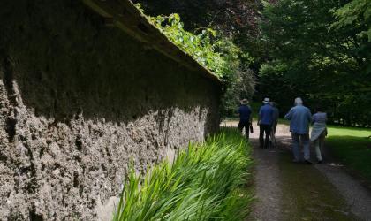
- organise talks, conferences, study days and visits for members and others
- publish articles and books
Conservation & Planning
 We advise and support owners, managers and local authorities on planning and other issues that affect Devon's gardens, parks and cemeteries of historic importance.
Research
 We research, record and document the historic gardens, parks, public parks and cemeteries in the county to support their conservation.
Parks & Gardens
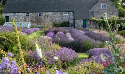
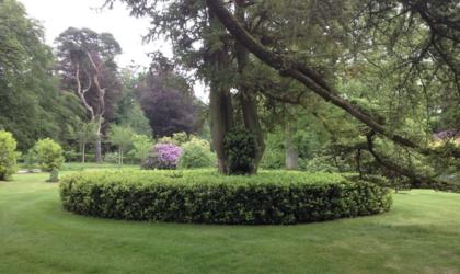
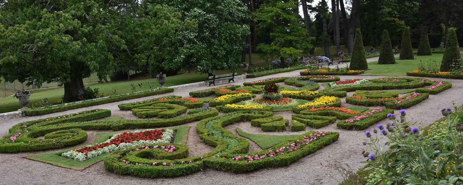
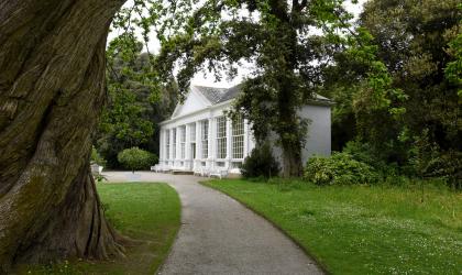
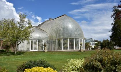
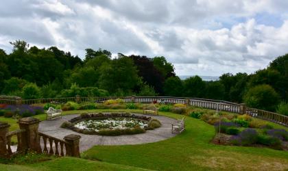
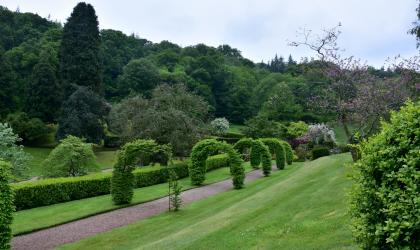 Devon has a rich heritage of gardens, parks, public parks and cemeteries of local and international importance.
Education
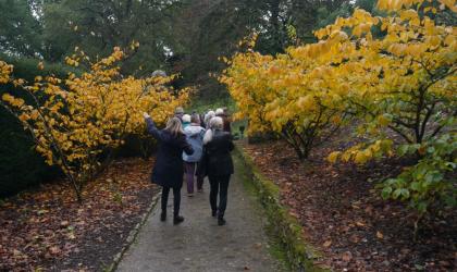
 We seek to promote horticulture in schools, greater awareness of the range and importance of careers in professional horticulture and the designed landscape.